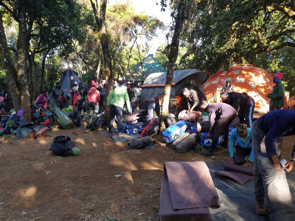
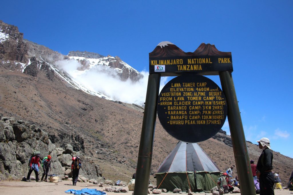
In February 2019, I took the trip to Tanzania to attempt to trek up Kilimanjaro. One of the largest freestanding volcanoes in the world (as it says on the sign) and definitely the highest mountain in the continent of Africa, at 5895m, the trip would take me higher than my Everest Base Camp trek.
This the second part of the story, all about summit day and getting down the mountain. Part 1 is about the first week of the trip. Part 3 will add some practical advice and considerations.
A full photoset can be found on Flickr
Sat 16 Feb
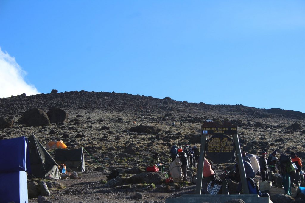
- Barafu to summit and back to Barafu
- Distance: 7:01m
- Walking Time: 10:32
- Elevation Gain: 1251m
- Max Elevation: 5865m (official height is 5895m)
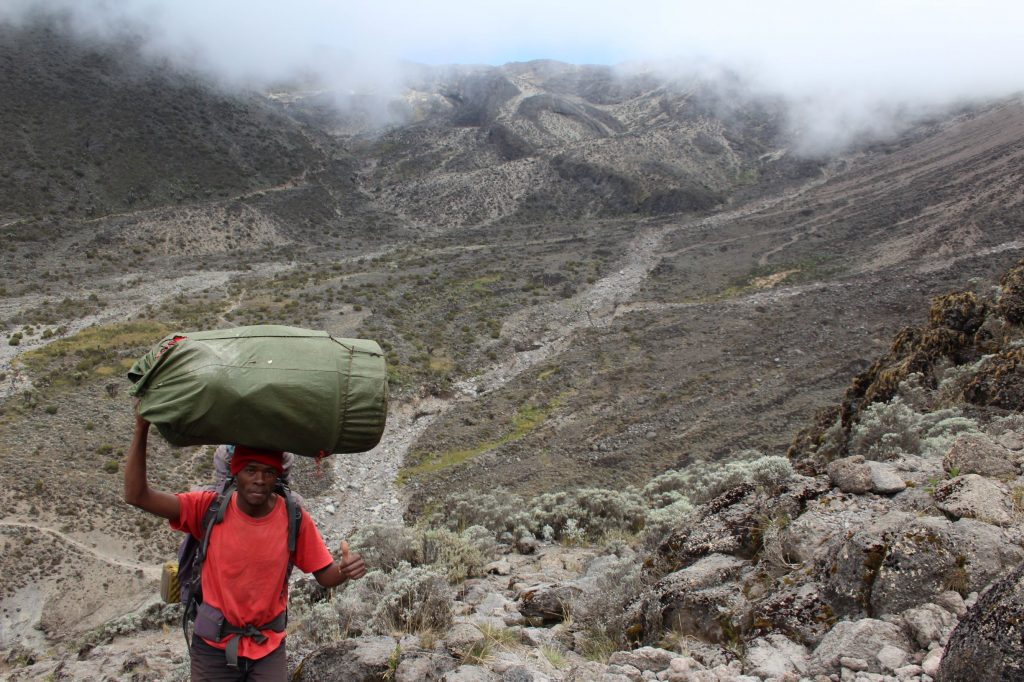
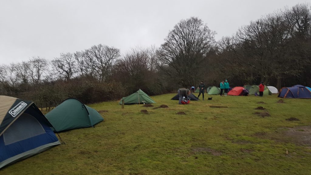
Slowly, slowly we got into line and headed out through camp. It was all uphill and we were completely reliant on the guides to keep us on the right track through the campsite. You caught glimpses of other groups, of other tents, but in general you had no idea where you are. Paths wound different ways between the various clusters of tents and I can imagine it would be easy to get confused – in fact, we apparently did later, a halt was called and the guides gathered to discuss, eventually deciding on the right way.
We’d been put into various groups, based on predicted speed, with each group an assigned guide. If we had gotten separated, we would at least have the group. For most of the climb, this was not needed, we managed to stick together. The groups meant that for most of the time you stayed in the same order, with your vision filled only with the backpack or heels of the person in front. You just plod on, following in their footsteps, a long conga line heading up the hill.
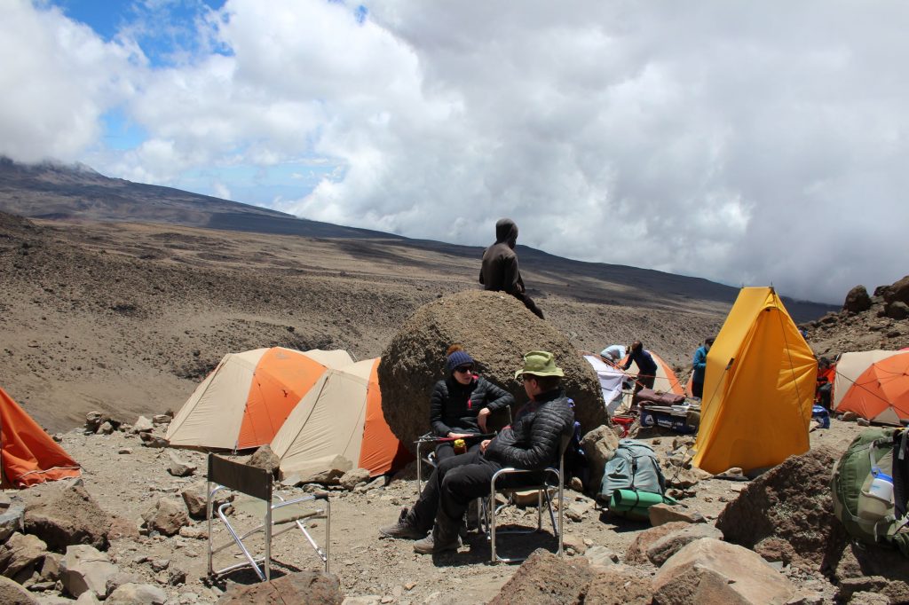
The plan was to stop about every 2 hours, although the times varied as we tended to stop at specific areas. Short stops, just time for a quick drink, a bite to eat, even if few of us had much appetite at this time of night, at this altitude. We’d all been issued with a snack collection, gels and bars, some cake, some sweets. I brought most of mine back down – but if you have your favourites, take them along.
As we started out, about 1am, the clouds were gathering and it soon started to snow. Just lightly, with a light wind, but it did not stay like that for long. More and more snow came down, the wind got harder. Often all you could see in the torchlight was reflected snowflakes, staying close to the person in front was important. Trudge, trudge, trudge, up the zigzags of the path. The wind appeared to be coming from the East, directly into your face for one zig, then into your back for the next zag.
I remember looking at my watch no long after 4am. The first glimmers of dawn were still at least 90mins away. The now was coming down hard and sticking, my hands were freezing and my breathing was heavy. This was the lowest point, but I kept focusing on just one step and the next– I knew if I could make it to dawn, then my chances were good.
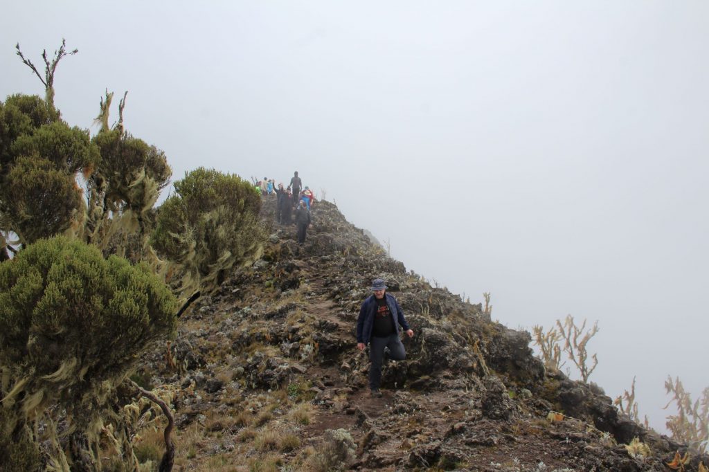
In my memories, it was dark and then it was light. I know I looked up as the sky was slowly lighting up, but did not take much in of surroundings. I just started feeling more confident that this was doable. We started to hear voices. People were above us and had made the crater rim, or had walked around from the other routes up. But it was still snowing. At this point, as the sun was rising, our UK guide spoke up and let us know we may not get everything we wanted. The snow was sticking and the paths were getting slippy. He was concerned that if it didn’t stop, then we would have difficulty getting back down, he needed to raise the risk and let us know that he may end up turning us back. Risk management here, let us know, let us take in the reality. We heard and we agreed to abide by the instructions. And all eyes kept looking out for breaks in the clouds, hoping it would stop snowing.
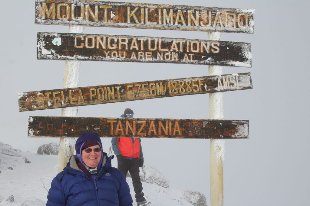
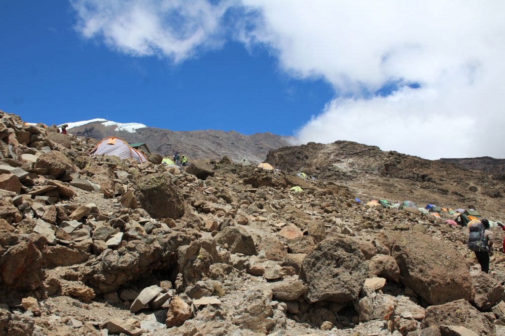
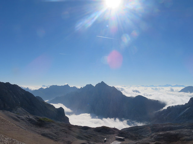
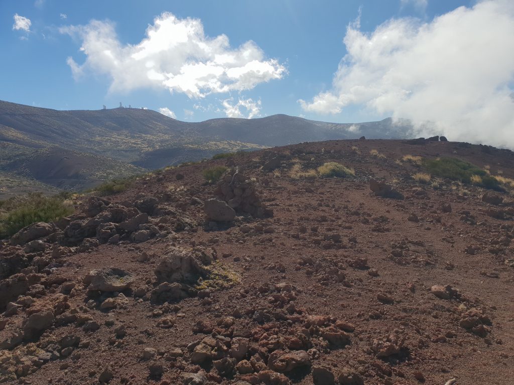
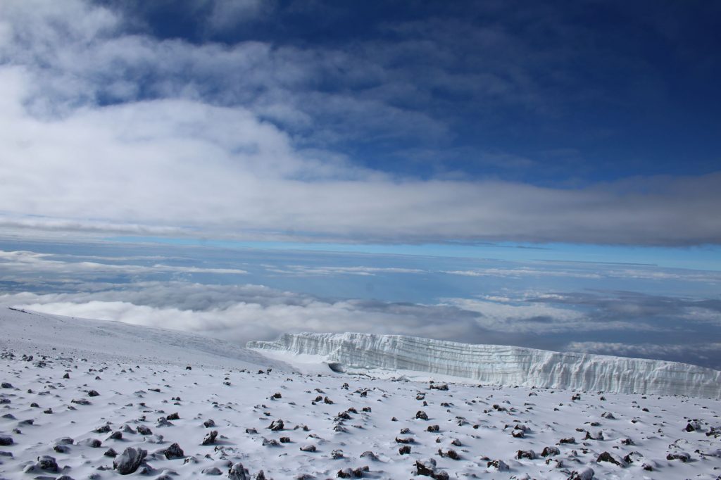
And as we kept going, the clouds started to part. Blue sky was seen, small patches at first, then larger ones. The sun was shining on the snow – everyone got their sunglasses out. (although I forgot to apply suncream, so red faces later). The snow stopped and we made our way to the crater rim and the first summit sign at Stella Point. There were still plenty of clouds, drifting around
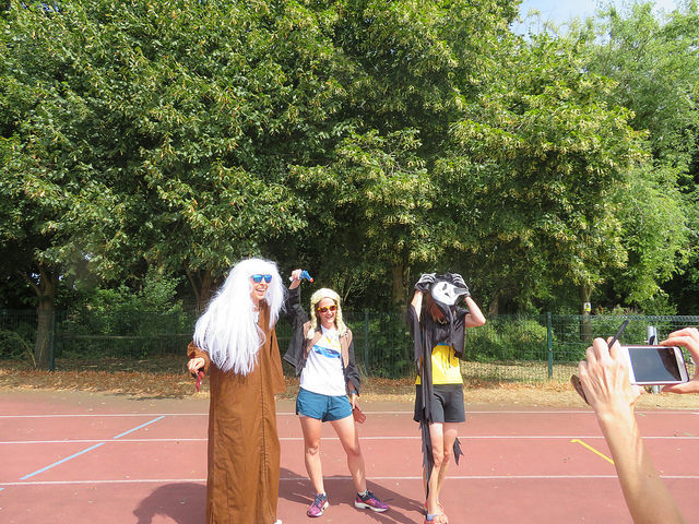
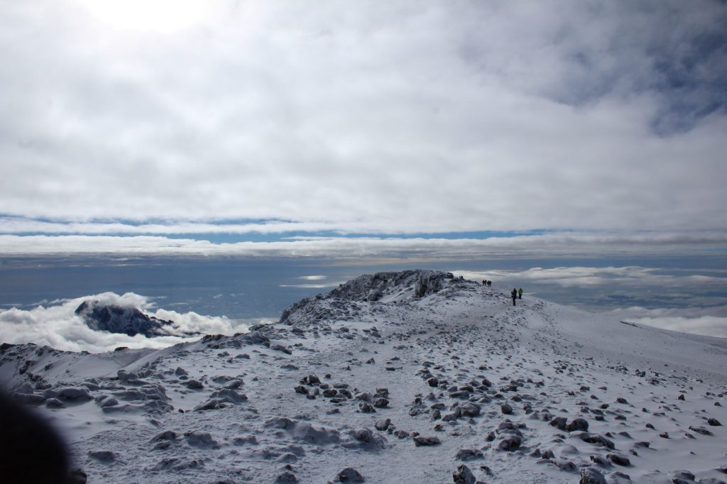
Time for photos at last, I’d taken none on the way up – we’d done the steeper uphill parts, all that was left was ¾ mile around the crater edge, a gentle stroll at lower levels. It was now we started to separate out. Energy running low, breathing hard, there was nothing to do but plod further and keep looking ahead. I ended up on my own for the last part, with just a guide behind me, who eventually took my pack for the last bit. gain memory plays tricks, it can’t have been that slow! But it was – my watch shows it took 75 mins to go that distance, an interrupted walk of steps and rests. The group spread out, as they rested, as they took photos, as they plodded on.
As you approach the last bit, you watch the successful trekkers get their photos, in groups, on their own and then head on down. Talking to the others, there was a lot of similarity in feelings. Relief, pride, satisfaction and tears. We’d done it. And so had the rest of the group, we’d done it together.
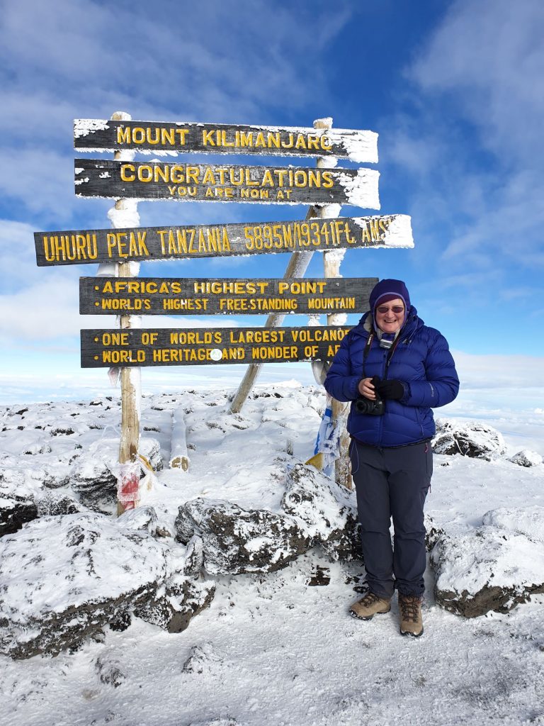
No group photos for us, but we took turns to grab photos for those who were there. I was in the first batch to get there, and watched the rest make their way up the final stretch. Our photos done, it was too cold to wait around, so about half of us headed back down to Stella point, ready to head downhill. A little more time on the way down to take more photos, but there was an urgency to leave, to get back to a little more air, a little more warmth.
My chest and throat were starting to feel really tight and I started coughing a lot, with wheezing on every breath. When I got to Stella Point, the main thought in my mind was to head down quickly, and this was agreed with the head local guide, who sent me on down ahead of the others instead of waiting around for longer. Which means I missed the drama behind me.
A couple of the team were feeling nauseous, and there was some vomiting. Worse, and far more dangerous, was one of them started to get disorientated, staggering on their feet and not talking sense. They’d been fine on the summit, they’d taken my photos, but by the time they’d started the walk down, altitude sickness had them in its grip.
The medical kit was split across the guides, but not all the boxes had all the drugs. Yells and waves from above and my guide and I sat and waited – one of the team came running down and got some additional drugs…before running back up and administering them. They checked me out, but my symptoms were stable and we were doing the right thing, so we carried on down as fast as possible – which wasn’t that fast. It took us just under 3 hours to get back to camp, with my downhill speed. You take a slightly different route back down; with the sun on the slope, a lot of the snow had gone and the ground has softened. It was sand and scree so there was a lot of controlled sliding on the way back, the quickest way to get down.
You keep going, on and on. At this point you’ve been going for 10 hours or so; the sight of tents ahead raises the spirits. Yes, you’ll soon be able to rest and have tea! Those hopes are soon dashed though, the tents you glimpsed were Kosovo Camp, not Barufa and there’s far more path to take.
Eventually, gratefully, I was there. My breathing was still wheezy, I had no voice, but nothing was getting worse. Time for liquids and a rest, time to lie in sleeping bag in the sun and wait for the rest – who proceeded to trickle down in 3 groups.
Our illest member was already there. They’d been “carried” down, supported and moved down by guides and then more help from porters who’d made their way up following a call. Drugs had been administered at the top and more were provided now. Thankfully, everything was working in the right way. 1200m lower and all symptoms were receding. A few hours later and there was no trace of them, except a small headache.
Not so mine, I was still wheezy and coughing. Drugs were provided for a number of options, the general agreement was it was altitude induced bronchitis, the lungs had been triggered by the cold and reacted. That definitely appeared to be the case, I had my voice back the following morning and over the next week it slowly went away.
The day was not yet finished though, we still had to make our way down to the next camp, this time Mweke Camp. This is a further 1500m of descent, heading directly out of the park instead of back around the mountain. The 3 of us who were not fully fit headed out first, along with another team member, this time with porters to carry our bags.
- Barafu to Mweke Camp
- Distance: 4:24m
- Walking Time: 4:00
- Elevation Loss: 1500m downhill (approx.)
We all had the memory of the pre-trip report saying this walk was pretty straight forward and fairly level. We all think that the speaker was referring to the final bits of the track we’d do the next day, as this was by far the worst section of the mountain. Most of it was rocky, slippy, lots of steps down and extremely eroded, especially from Millenium Camp downwards. Extremely hard to negotiate and no one had fun. It took our group 4 hours; we were overtaken by another bunch of the team at one point – and our member who’d been the illest was feeling well enough to join them, whilst we carried on at my slow, not breathing very well pace. If I went too fast and got out of breath I ended up coughing, so we went at a pace that kept the breathing easy.
At some point, about 30mins out I think, it started to rain. And rain even harder. The rocks got slippier and visibility was getting worse as it got darker. Finally we made it to the camp, heading down the path another 10minutes to find our space. Mweke was very similar to the first campsite, in that we had little space and the tents were all very, very close. The majority of us were now here, but one group of 5 were still on the track. By radio, we established they were only about 30mins away, but that was in normal conditions, not in the dark and rain. Porters were sent back up to help – with extra torches, and they were soon making their way to the tents. There’d been a few slips and slides, but everyone was in one piece.
A quick meal and time for bed. It had been a LONG day, awake at 2330 and it was now about 2030. 11 miles covered, 14.5 hours walking, 1200m up, 2700m downhill. That’s a LOT of effort in the team. We had one final effort the following day, but our time on the mountain was nearly over
Sun 17 Feb
- Mweke Camp to Mweke Gate
- Distance: 5:32m
- Walking Time: 3:03
- Elevation Loss: 1400m downhill (approx.)
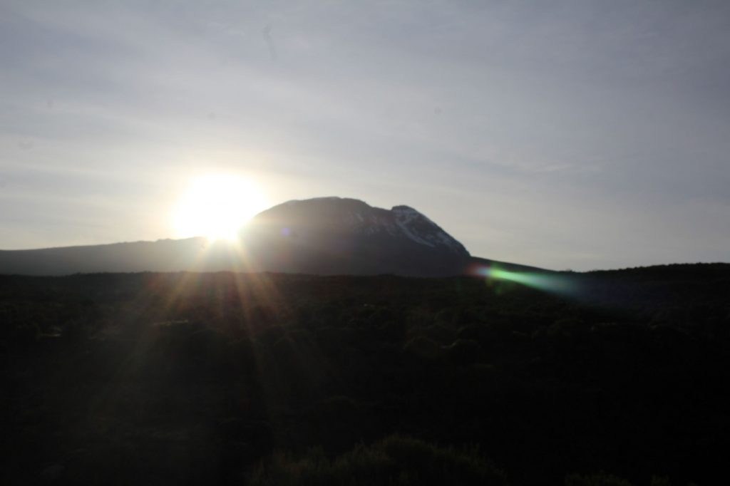
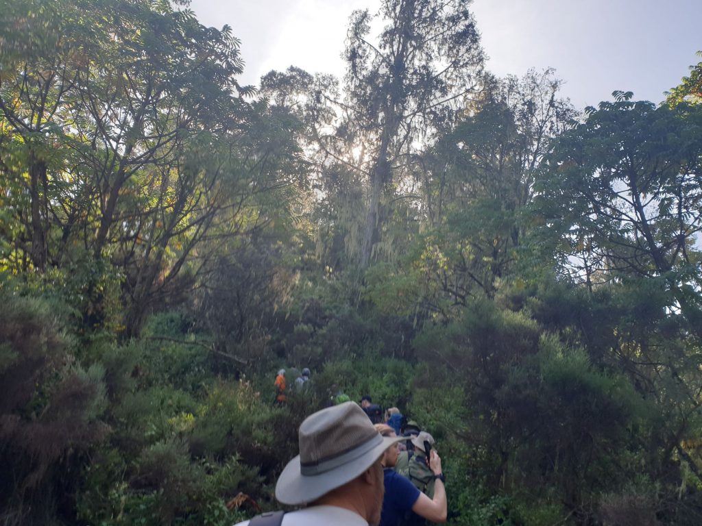
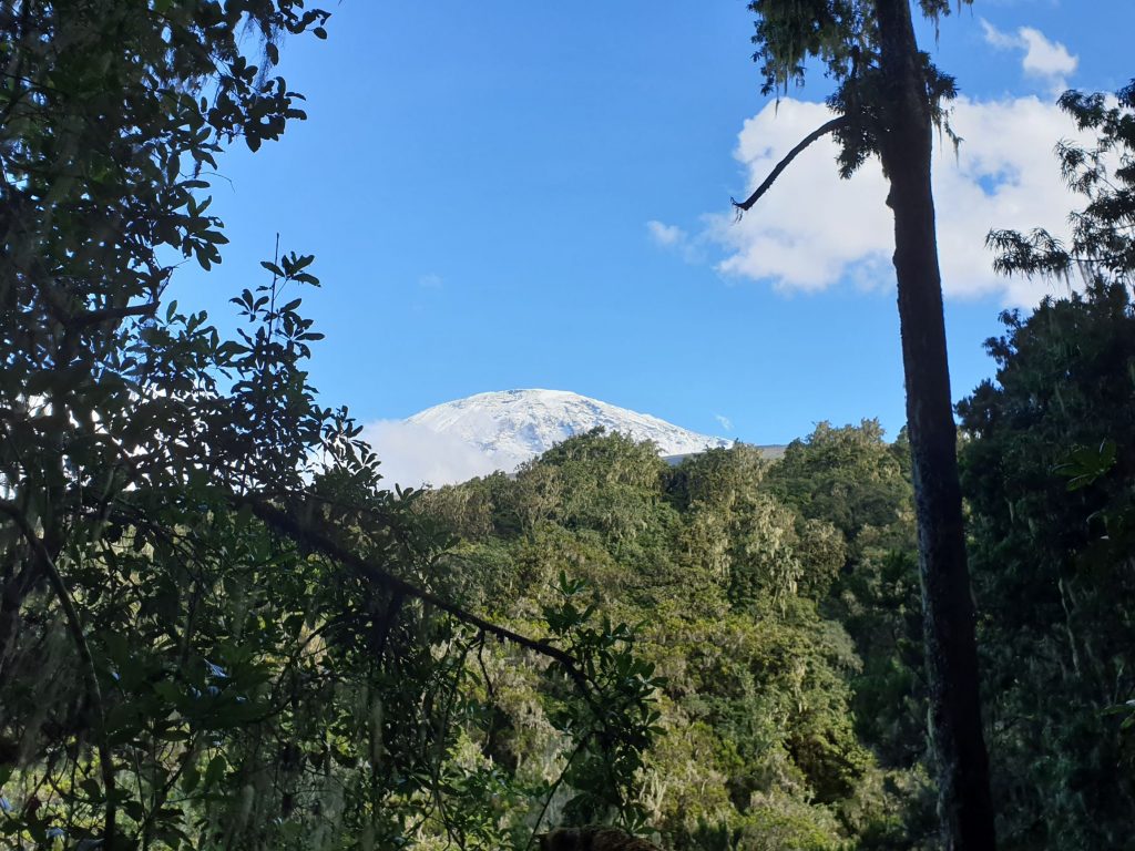
Time to finish this and get to the hotel. The last stretch was fairly straightforward, some rocky sections but much of it had been worked on. The guides had a cunning plan – the lead local guide and the UK guide would run ahead and sort out the signing out – in the same way the first day was busy, this would be also. So they headed out, jogging, and the rest of us plodded after them. e were back in the jungle now, trees all around us, but occasionally there was a break and we could see the mountain, now snow covered, shining in the sun.
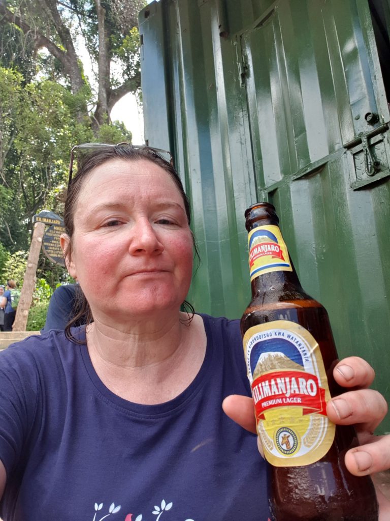
The group definitely spread out now, I think it was about 45mins between the first and the last, but there was no rushing to be had. Legs were tired, brains were tired and it was better to take it slowly then risk a fall. This time my downhill appeared to be OK and I kept up with the first group, so settled down to wait with a beer.
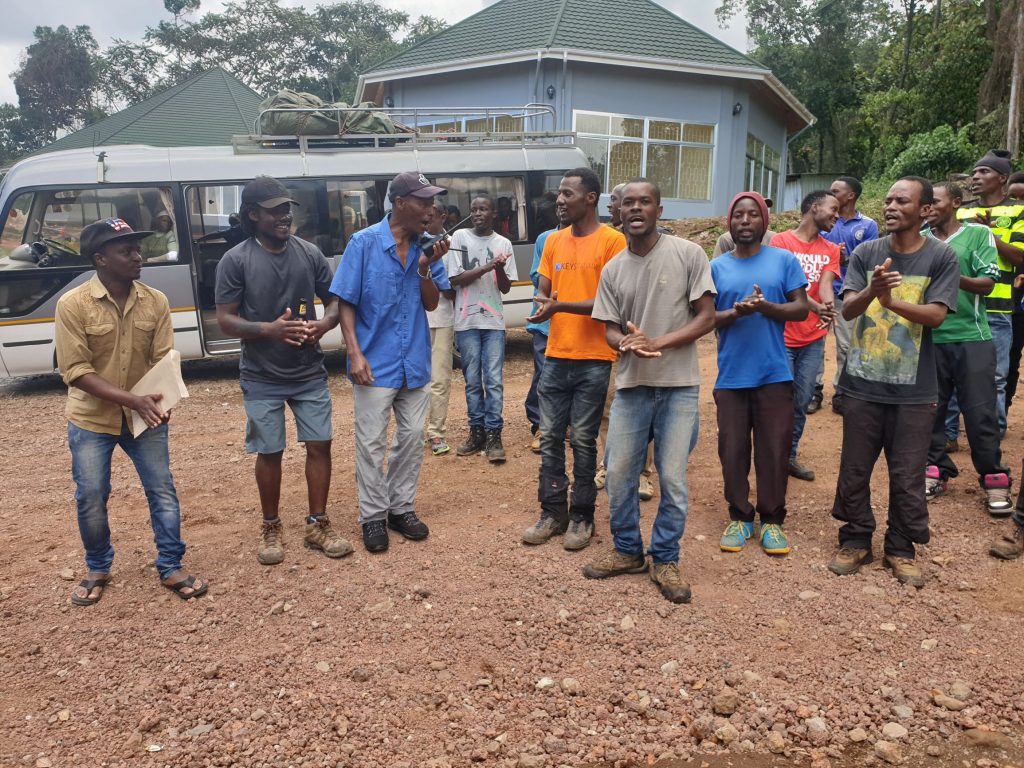
Once all there, the bags and kit all loaded, it was time for the farewell ceremony. Some groups had obviously done this at the previous camp, this company does it at the gate. The team all gathered, the local crew sang the goodbye song and the tips were handed out by category. And it was done. We’d finished our walking. All that was left was to head home.
First port of call was the hotel. Excellent service here, we all got a room for the afternoon, to shower, to rest, to sort out the bags. Then food, a little shopping for some in town and we were finally, finally done. We piled back into the van and headed to the airport for our evening flight back to the UK via Amsterdam.